In short
- Independent harmonic predictions built from 19 years (2007–2025) of open REFMAR/SHOM tide-gauge data at Saint-Malo and Brest.
- Checked against all 86 high waters in the official 2026 booklet of the Établissement public du Mont-Saint-Michel: times within 3 minutes, heights within 10 cm, coefficients within 1.
- 2026 access-disruption windows are copied from the official booklet; 2027–2028 windows are our estimates until the official booklets appear.
- Predictions cover the astronomical tide only – wind and air pressure can change the real water level.
Why we make our own tables
Official tide predictions for France are produced by the SHOM (the French Navy's hydrographic service), and the Établissement public du Mont-Saint-Michel (EPMSM) publishes a free annual booklet listing the high tides that disrupt access to the Mont. These are the authoritative sources. SHOM's detailed predictions are licensed, however, and the booklet covers only one year and only the largest tides. To give you a complete, interactive table for every day from 2026 to 2028, we compute our own predictions from open data and calibrate them against the official figures.
Data sources
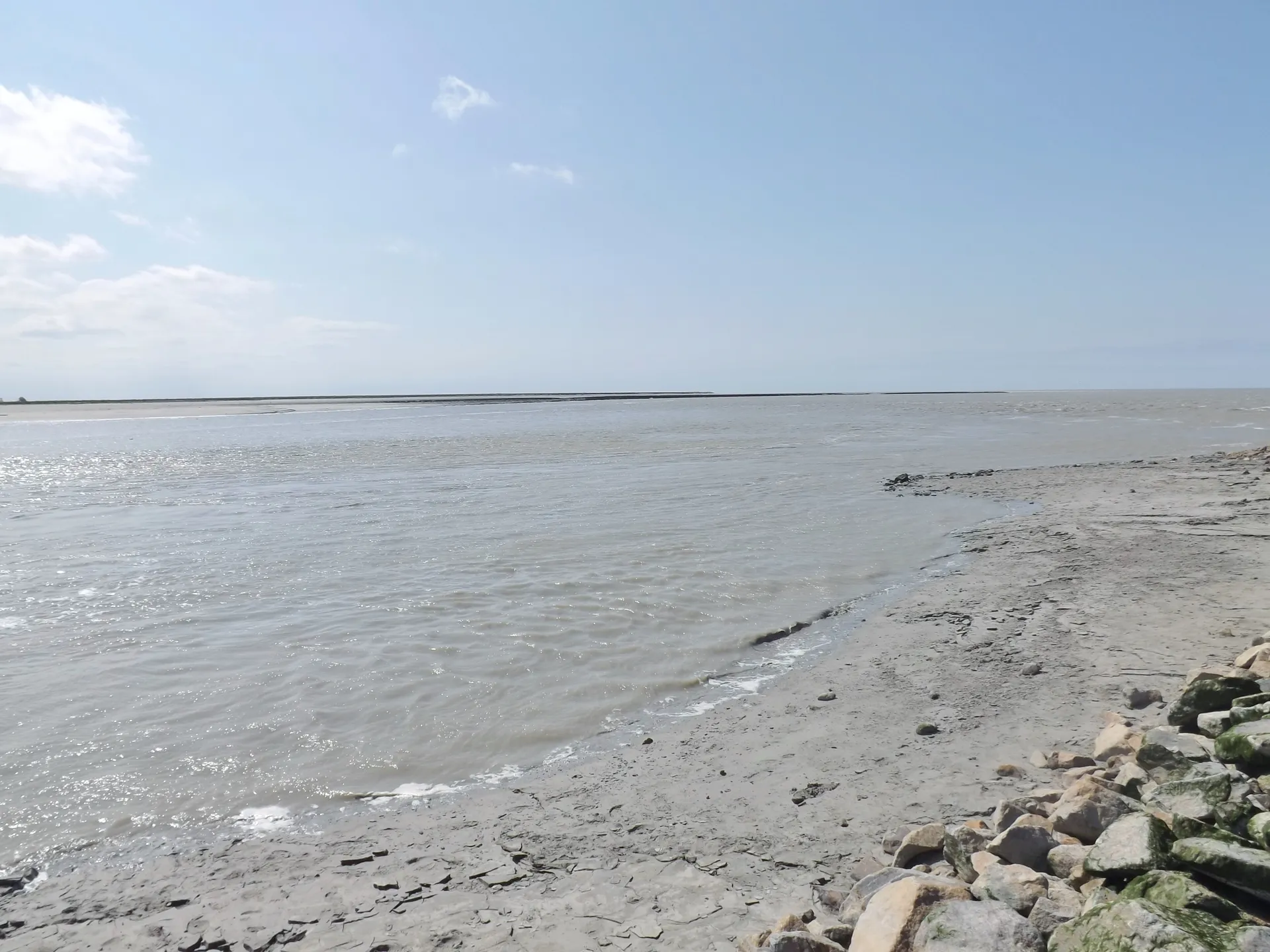
- Saint-Malo tide gauge – about 19 years (2007–2025) of 10-minute water-level observations from REFMAR, the open tide-gauge network coordinated by SHOM. Saint-Malo is the reference port for the bay, and the EPMSM booklet uses Saint-Malo times and heights.
- Brest tide gauge – hourly REFMAR observations, used to compute the French tide coefficient, which SHOM defines from the semi-diurnal tide at Brest.
- EPMSM Informations marées 2026 – the official booklet of high waters, coefficients and access windows, used for calibration and checking, and as the source of all 2026 access windows.
- Independent published tables for Saint-Malo and coefficient calendars, used as additional checks.
Method
- We fit a harmonic model (146 tidal constituents, using the open-source UTide method) to the Saint-Malo and Brest observations.
- From the model we predict the water level every few minutes for 2026–2028 and extract each high and low water.
- We calibrate the high-water times and heights against the official 2026 booklet and SHOM-based tables, and compute each high tide's coefficient from the Brest prediction using the SHOM definition.
- For 2026, every disrupted-access window ("fanils" from 12.20 m and "insular" from 12.80 m) is copied from the official booklet and marked as official. For 2027 and 2028, we estimate the windows from our predicted heights using the booklet's thresholds, and mark them as estimates.
- Times are converted to French local time (CET/CEST) with daylight-saving changes, and heights are kept on the Saint-Malo scale of the booklet so that they compare directly with its thresholds.
How accurate is it?
| Check | Result |
|---|---|
| High-water times vs the 86 high waters of the official 2026 booklet | Average error about 1 minute; all within 3 minutes |
| Heights vs the official 2026 booklet | Average error about 3 cm; all within 10 cm |
| Coefficients vs the official 2026 booklet | 83% identical; all within 1 point |
| Same checks on days held out of the calibration | Same accuracy (about 1 minute and 3 cm on average) |
| High and low waters vs a published 7-day Saint-Malo table | Times within about 4 minutes, heights within 10 cm |
Limits – please read
- Weather: strong winds and low or high air pressure can raise or lower the sea by tens of centimetres and shift the time of high water by several minutes. Storm surges can make a tide behave like a much bigger one.
- Not an official product: our tables are a planning aid. They are not a SHOM publication and must not be used for navigation.
- Access decisions on the day are made by the site's stewards. Follow their instructions and on-site signs.
- The bay: no tide table makes it safe to walk on the sands without a certified guide.
Updates
We regenerate the tables when the EPMSM publishes a new booklet (usually around December for the following year), copying its official access windows, and we re-check the model against new observations each year. If you notice a discrepancy, please tell us via the about page.
Frequently asked questions
Are your tide times official?
No. They are independent predictions calibrated against the official EPMSM booklet and SHOM-based tables. Access windows for 2026 are copied from the official booklet.
Why are your heights not "plus 1 m"?
The official booklet prints Saint-Malo heights and its access thresholds (12.20 m and 12.80 m) on that scale, noting that the level at the Mont is about 1 m higher. We keep the booklet's scale so the numbers can be compared directly.
How far ahead do you predict?
To the end of 2028. Astronomical tides can be predicted years ahead; the weather cannot.
Sources and official information
Facts were checked against these official sources in November 2026. Opening hours, prices and timetables change, so confirm before you go.
MontSaintMichel.com is an independent guide, not the official site of the Abbey or of the Mont. Some links are affiliate links: tours and tickets go to GetYourGuide and hotels go to Booking.com, and we may earn a commission at no extra cost to you.